

Inspection data you can put to work.
Trusted drone professionals providing aerial inspection data for New York City buildings.
Drone Inspection Services In New York City
Drone Inspect NYC captures aerial data for New York City buildings: close-range façade imagery, 3D models and point clouds. We plan and permit every flight. You get the results in a cloud-based viewer where you can take measurements, mark up conditions as Safe, SWARMP or Unsafe, and share those markups with your team from any browser. We equip architects, engineers, QEWIs, building owners and property managers with accurate data for FISP façade compliance under Local Law 11, parapet inspections under Local Law 126, and thermal imaging of the building envelope for Local Law 97. Our drone imaging provides a comprehensive scan of the entire building. It reveals the condition at every elevation before a single drop is made or any scaffolding is erected, so the QEWI knows which areas to examine first.
How We Work
- 01
Proposal and Planning
We review your building and define the project scope: scheduling of flights, securing permits, and planning safe, compliant missions based on your site and regulatory requirements.
- 02
Drone Imaging & Data Collection
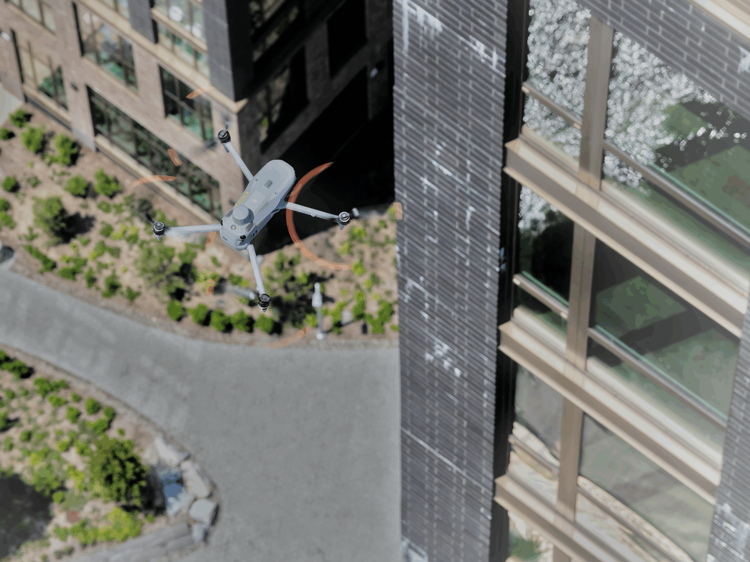
FAA-certified remote pilots deploy industry-proven drones equipped with high-definition cameras, thermal sensors, or LiDAR to capture accurate, high-resolution data from every angle.
- 03
Project Delivery & Software Viewing
Captured data is processed into digital twins, elevation drawings, orthomosaics and point clouds. All accessible through a cloud-based 3D viewer for easy measurement, annotation, and reporting.
Evidence for Façade Inspection Safety Program (FISP)
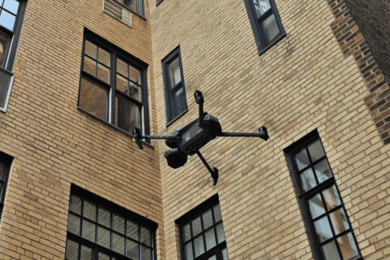
Every New York City building more than six stories must file a periodic façade inspection report, on a deadline fixed by its tax block. We work with QEWIs: we plan the flight, file the NYPD permit and photograph every elevation at close range, including the areas that are hard to reach from the ground. The aerial data we capture contributes to the evidence the report is built on.
For QEWIs
Before you put your hands on the building, do a full visual pre-inspection from your desk. An accurate 3D model puts every elevation in front of you at close range, so you know the conditions and where they are. Measure them, mark them up, and export elevation drawings cross-referenced to an image condition report.
For owners and property managers
The first step, before any rigging goes up. A full 3D model shows where the conditions actually are. See what your QEWI marked on your building, understand its current state, and plan and price the repair from there. A December 2025 review of FISP commissioned by the DOB[1] describes how drones can deliver “substantially more comprehensive visual data more safely and in a shorter amount of time.”
Search FISP Cycle 10 filing windows
View Your Building in 3D
Our cloud-based viewer makes it easy to zoom, measure, annotate, and collaborate—no software required. Experience your inspection data like never before.
- Interactive 3D navigation
- Measurement tools
- Annotation capabilities
- Team collaboration
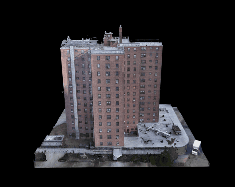
Digital Twin
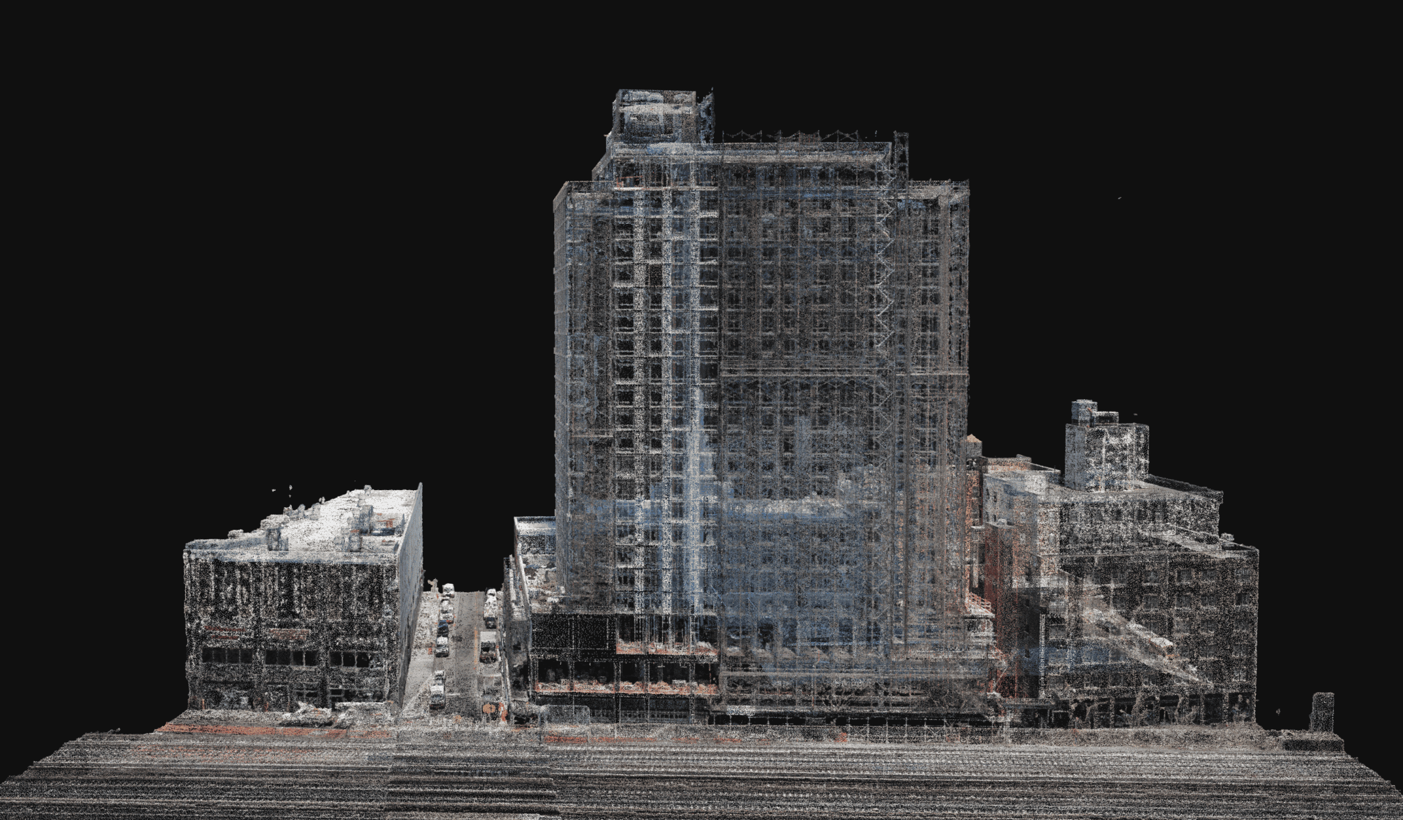
We deliver data, not just images
We partner with our clients to deliver fully-managed, compliance-ready drone inspection data. Designed for real-world challenges in New York City's complex urban infrastructure.
- Digital twin models
- 4K RGB imagery
- Thermal imagery
- LiDAR point clouds
- Chain of custody
Why Choose Drone Inspect NYC?
Drone Inspect NYC brings FAA-certified remote pilots, accurate data and full regulatory compliance to every building we fly in New York City.
- FAA Certified
- Every flight is flown by a remote pilot holding an FAA Part 107 certificate — the licence required to fly commercially.
- Accurate Data
- RTK positioning improves accuracy and provides a more reliable spatial reference than standard drone GPS.
- NYPD Approved
- Every flight in NYC requires an NYPD permit. We apply for one on every project and fly once it's approved.
- Fully Insured
- $5 million in total liability coverage, current and active, behind every flight we fly.